

 GMA Brandtalk
 Tracking
 Archives


Signal No. 1 remains over Batanes as Typhoon Rosal weakens
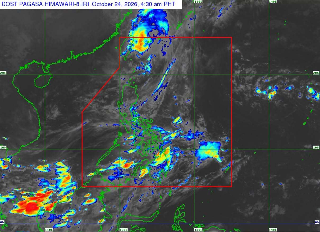
Tropical Cyclone Wind Signal No. 1 remained in effect over Batanes as Typhoon Rosal weakened slightly, state weather bureau PAGASA said in its 5 a.m. Saturday bulletin.
As of 4 a.m., Rosal's center was located 420 kilometers north of Itbayat, Batanes, with maximum sustained winds of 150 kilometers per hour (km/h) and gusts of up to 185 km/h.
The typhoon was moving southwestward at 10 km/h.
“Rosal has made a counterclockwise loop over the sea east of Taiwan and will gradually accelerate north northeastward. On the forecast track, Rosal will exit the Philippine Area of Responsibility (PAR) this morning before heading towards the East China Sea,” PAGASA said.
Batanes may experience rain and gusty winds due to the typhoon, while the Ilocos Region, Babuyan Islands, Apayao, Abra, and Benguet may see cloudy skies with scattered rains and thunderstorms due to Rosal’s trough.
Meanwhile, the Intertropical Convergence Zone (ITCZ) will bring cloudy skies with scattered rains and thunderstorms over the Visayas, Zamboanga Peninsula, Northern Mindanao, Palawan, Masbate, Sorsogon, Agusan del Norte, Surigao del Norte, Dinagat Islands, Basilan, and Tawi-Tawi.
Localized thunderstorms are expected for the rest of the country. — VBL, GMA News

