

Fair weather, isolated showers seen across PH
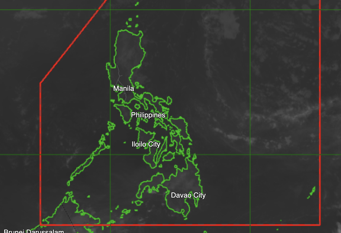
Most parts of the country, including Metro Manila, will continue to experience generally fair weather with chances of isolated rainshowers or thunderstorms, according to the Philippine Atmospheric, Geophysical and Astronomical Services Administration.
In its 4 a.m. advisory on Sunday, PAGASA said a ridge of a high-pressure area is extending over Northern Luzon, bringing partly cloudy to cloudy skies across the country.
However, localized thunderstorms may still trigger sudden downpours that could lead to flash floods or landslides, especially during severe weather.
PAGASA advised the public to remain alert for possible thunderstorms later in the day, despite generally fair weather conditions.
Meanwhile, Severe Tropical Storm Sinlaku remains outside the Philippine Area of Responsibility (PAR) and is not expected to affect the country directly.
As of 3 a.m., the storm was located about 2,770 kilometers east-northeast of Extreme Northern Luzon, packing maximum sustained winds of 95 kilometers per hour and gusts of up to 110 kph. It is moving northeastward at 25 kph.
Coastal waters in the eastern sections of Southern Luzon, Visayas, and Mindanao will be moderate, with wave heights ranging from 1.5 to 2.5 meters. The rest of the country will experience slight to moderate seas.
In Northern and Central Luzon, winds will be light to moderate coming from the northeast to southeast, while other parts of the country will experience light to moderate winds from the northeast to east.
The temperature in Metro Manila reached a high of 35.1°C on Friday afternoon and dipped to 23.8°C early morning, based on PAGASA monitoring at its Science Garden station in Quezon City.
Sunrise on Sunday will be at 5:40 a.m., while sunset will be at 6:11 p.m.—MCG, GMA News
