

Tropical Storm Higos to enter PAR as 'Gardo' on Thursday
Tropical Storm Higos is expected to enter the Philippine Area of Responsibility (PAR) on Thursday afternoon or evening and will be assigned the local name Gardo, state weather bureau PAGASA said.
The storm was last located 1,595 kilometers east of Northern Luzon, outside PAR, packing maximum sustained winds of 75 kilometers per hour (kph), gusts of up to 90 kph, and moving west northwestward at 25 kph in PAGASA's 11 a.m advisory.
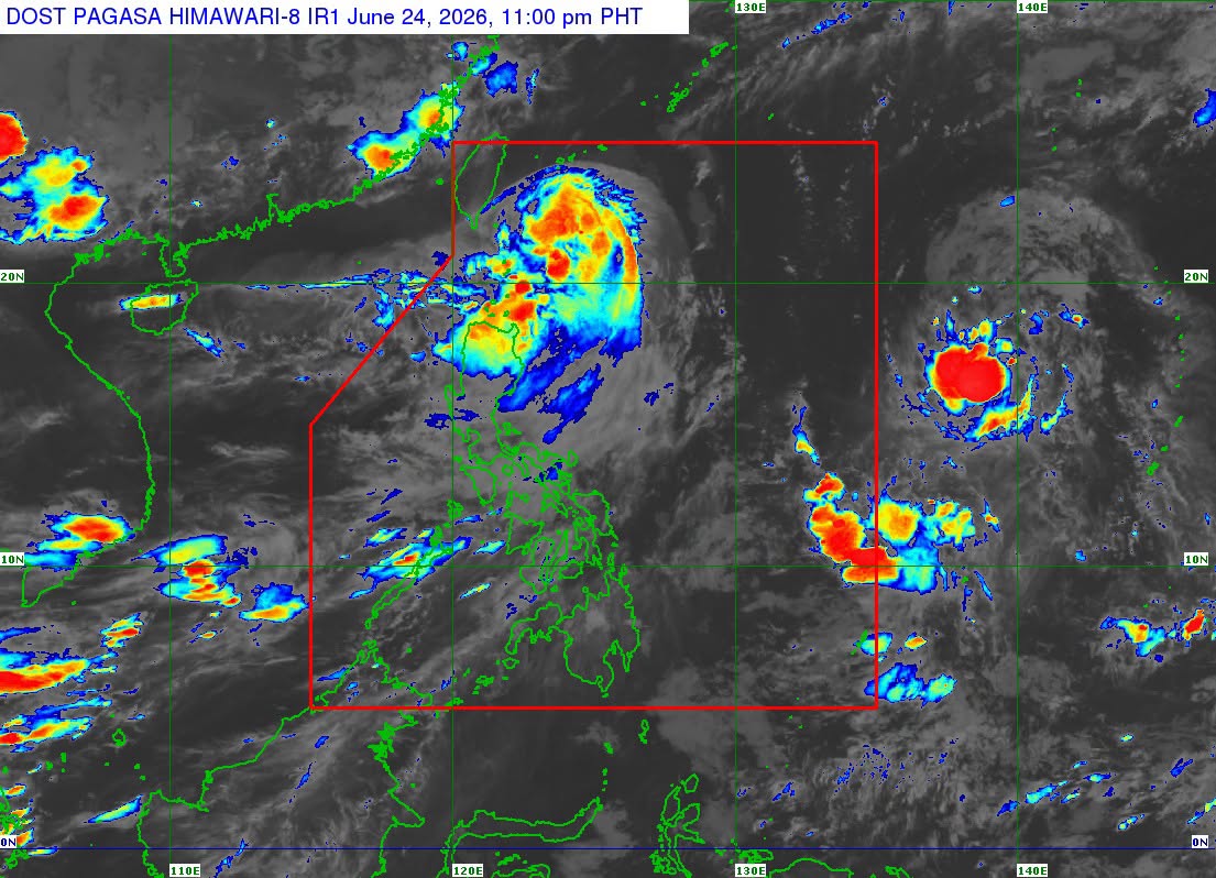
Despite entering PAR, PAGASA said the cyclone is not expected to directly affect the country’s weather or sea conditions.
“HIGOS will remain far from the Philippine landmass and is not expected to directly affect the weather and sea conditions throughout the forecast period,” PAGASA said.
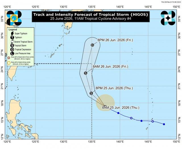
The weather bureau said Higos is likely to maintain its tropical storm strength while inside PAR before weakening into a tropical depression by Friday afternoon or evening.
PAGASA said Higos is forecast to continue moving generally northwestward over the Philippine Sea before entering PAR later Thursday.
Once inside PAR, the tropical cyclone is expected to turn generally northward and exit the country’s area of responsibility by Friday morning or afternoon.
Strong to gale-force winds associated with the storm extend up to 220 kilometers from its center.
PAGASA advised the public and local disaster risk reduction and management offices to continue monitoring official weather updates as the cyclone moves across the Philippine Sea. —VAL, GMA News
