

LPA to bring rain over parts of Luzon, Visayas
A low pressure area (LPA) is expected to drench areas in Luzon and Visayas on June 30, according to PAGASA on Monday.
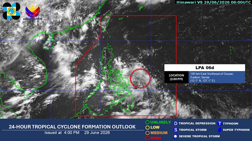
In its 4 p.m. weather bulletin, the LPA was estimated at 165 km east northeast of Borongan City, Eastern Samar.
The LPA is expected to bring cloudy skies with scattered rains and thunderstorms in Metro Manila, Visayas, CALABARZON, Bicol Region, Occidental Mindoro, Oriental Mindoro, Marinduque, and Romblon.
The Southwest Monsoon or Habagat, on the other hand, is forecasted to bring similar weather conditions in Palawan.
Meanwhile, the rest of the country is expected to experience partly cloudy to cloudy skies with isolated rainshowers or thunderstorms due to localized thunderstorms.
Affected areas of the LPA, habagat, and localized thunderstorms may experience possible flash floods or landslides, according to PAGASA.
Moderate winds and seas are expected in the eastern sections of Southern Luzon and Visayas, with waves running from 1.2 meters to 1.8 meters.
Light to moderate winds and slight to moderate seas are expected in the rest of the country, with waves running from 0.6 meters to 1.5 meters in Mindanao, the rest of Southern Luzon, and the rest of Visayas, and 0.6 meters to 1.2 meters in the rest of Luzon.
At the PAGASA Science Garden weather station in Diliman, Quezon City, the highest temperature recorded on Monday reached 32.4 degrees Celsius at 1 p.m., while the lowest temperature was logged at 25.8 degrees Celsius at 5 a.m.
Sunrise in Metro Manila on Tuesday is at 5:30 a.m. —Lyjah Tiffany Bonzo/RF, GMA News
