

 GMA Brandtalk
 Tracking
 Archives

Habagat to bring scattered rains over Luzon, western Visayas
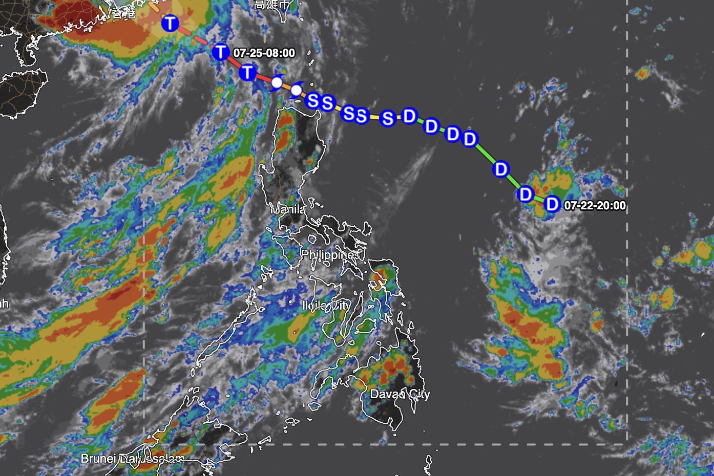
The Southwest Monsoon or Habagat will bring scattered rains and thunderstorms over Luzon and the western section of the Visayas on Monday, July 27, the state weather bureau PAGASA said Sunday.
In its 4 p.m. bulletin, the Philippine Atmospheric, Geophysical and Astronomical Services Administration (PAGASA) said cloudy skies with scattered rains and thunderstorms are expected over the following areas:
- Metro Manila
- Ilocos Region
- Cordillera Administrative Region (CAR)
- MIMAROPA
- Zambales
- Bataan
- Tarlac
- Pampanga
- Bulacan
- Cavite
- Laguna
- Batangas
- Aklan
- Antique
Meanwhile, the rest of the country will have partly cloudy to cloudy skies with isolated rain showers or thunderstorms due to localized thunderstorms.
PAGASA warned that flash floods or landslides may occur in areas affected by the habagat and localized thunderstorms during moderate to heavy rains.
As of 3 p.m. Sunday, Kiyapo, now internationally known as Severe Tropical Storm Noul, was monitored outside the Philippine Area of Responsibility (PAR), 865 kilometers west-northwest of extreme Northern Luzon.
Moderate winds and moderate coastal waters are expected over the western section of Luzon, with wave heights ranging from 1.5 to 2.5 meters.
The rest of the country will experience light to moderate winds and slight to moderate coastal waters. Wave heights may range from 0.6 to 1.8 meters over the rest of Luzon and from 0.6 to 1.5 meters over the Visayas and Mindanao.
At the PAGASA Science Garden in Diliman, Quezon City, the highest temperature recorded Sunday was 31.4 degrees Celsius at 2 p.m., while the lowest was 25.4 degrees Celsius at 5 a.m.
Sunrise in Metro Manila on Monday will be at 5:38 a.m. — MCG, GMA News

