

 GMA Brandtalk
 Tracking
 Archives

Habagat to bring rains over Southern Luzon, Western Visayas
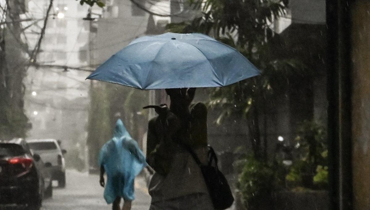
The Southwest Monsoon or Habagat is expected to affect Southern Luzon and the western section of Visayas, according to state weather bureau PAGASA.
In a 4 p.m. bulletin, PAGASA forecast habagat to bring occasional rains over Metro Manila, Rizal, Cavite, Batangas, and Occidental Mindoro on Wednesday.
Meanwhile, Antique, Iloilo, Guimaras, and the rest of CALABARZON and MIMAROPA may have cloudy skies with scattered rains and thunderstorms.
LPA
The Low Pressure Area (LPA) being monitored by PAGASA was spotted last spotted180 km west of Bacnotan, La Union inside the Philippine Area of Responsibility (PAR).
PAGASA said it has a “high” chance of developing into a tropical depression within the next 24 hours.
The LPA is expected to bring cloudy skies with scattered rains and thunderstorms over the Ilocos Region, Cordillera Administrative Region, Cagayan Valley, and the rest of Central Luzon.
For the rest of the country, partly cloudy to cloudy skies with isolated rainshowers or thunderstorms are expected due to localized thunderstorms.
PAGASA advised the public of possible flash floods or landslides during heavy rains or severe thunderstorms.
Typhoon Dolphin
Typhoon Dolphin is also being monitored outside PAR by PAGASA
It is monitored at 2,095 km east northeast of Extreme Northern Luzon, with maximum sustained winds of 155 kph and gusts up to 190 kph.
Moderate to strong winds and moderate to rough coastal waters are expected in Northern and Central Luzon, with waves running from 1.2 meters to 2.8 meters.
Light to moderate winds and slight to moderate coastal waters are expected in the rest of the country, with waves running from 0.6 meters to 2.5 meters.
At the PAGASA Science Garden weather station in Diliman, Quezon City, the highest temperature recorded on Tuesday reached 28.2 degrees Celsius at 11 a.m., while the lowest temperature was logged at 25.1 degrees Celsius at 1 a.m.
Sunrise in Metro Manila on Wednesday is at 5:40 a.m. —VAL, GMA News

