

 GMA Brandtalk
 Tracking
 Archives

Neneng maintains strength, moves westward over sea east of Batanes
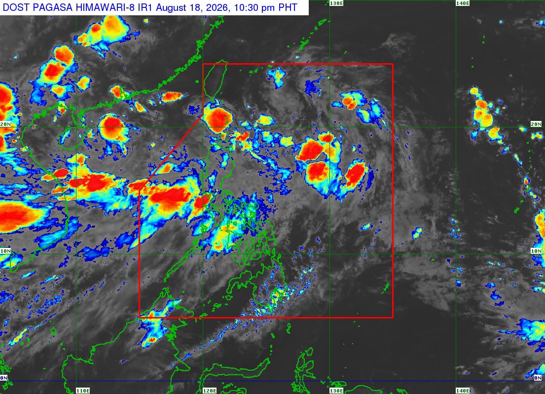
Tropical Depression Neneng maintained its strength as it moved westward over the sea east of Batanes, PAGASA said on Tuesday night.
As of 10 p.m., Neneng was estimated at 745 km east of Itbayat, Batanes, with maximum sustained winds of 45 kph and gustiness of up to 55 kph.
In the state weather bureau’s 11 p.m. bulletin, the enhanced Southwest Monsoon or Habagat is expected to bring strong to gale-force gusts over most of the country.
PAGASA said Neneng is less likely to make landfall over the country and will remain far from the Philippine landmass.
It is expected to be a “short-lived tropical cyclone" and remain a tropical depression before weakening into a remnant over Taiwan on Thursday.
Meanwhile, the Low Pressure Area (LPA 08g) has developed into a Tropical Depression and is being monitored outside the Philippine Area of Responsibility (PAR). It was spotted 520 kilometers east of Calayan, Cagayan with maximum sustained winds of 45 km/h and gustiness of up to 55 km/h and moving westward at the speed of 10 km/h.
PAGASA also reported that another Tropical Depression is being monitored outside the PAR or 3,155 kilometers east of Northeastern Mindanao maximum sustained winds of 45 km/h and gustiness of up to 55 km/h and moving north northwestward slowly. — BAP, GMA News

