

 GMA Brandtalk
 Tracking
 Archives

TD Neneng slightly weakens as it moves west - PAGASA
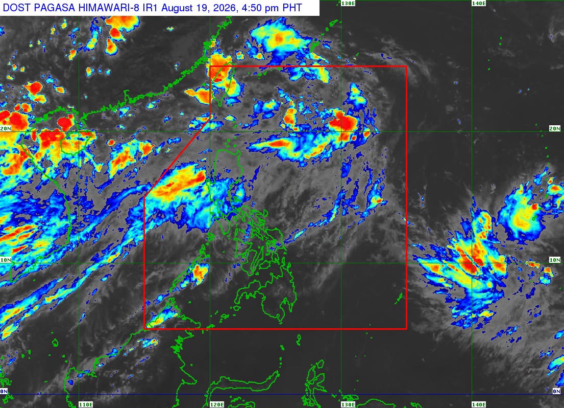
Tropical Depression Neneng has slightly weakened while moving west northwestward over the sea east of central Taiwan, state weather bureau PAGASA said on Wednesday.
According to the 5 p.m. weather bulletin, the center of the eye of Neneng was monitored 375 kilometers northeast of Itbayat, Batanes.
It packs maximum sustained winds of 45 kilometers per hour near the center. It also has a gustiness of up to 55 kilometers per hour.
Neneng is moving west northwestward at 35 kilometers per hour.
PAGASA said that Neneng is forecast to move generally northwestward. It could pass close or make landfall over the northern coast of Taiwan on Thursday evening, August 20 or early Friday, August 21.
The center of the tropical depression will remain over the Philippine Sea throughout the forecast period, the state weather bureau said.
Further, Neneng will remain a tropical depression in the next 24 hours before weakening into a remnant low over or near Taiwan on Friday morning.
But PAGASA does not rule out earlier weakening into a remnant low.
The agency is also monitoring a tropical storm outside of PAR. But it was almost stationery.
There is another tropical depression outside of PAR, west of extreme northern Luzon.
The Southwest Monsoon or Habagat will continue to bring rains over the country on Thursday. —Vince Angelo Ferreras/RF, GMA News

