

 GMA Brandtalk
 Tracking
 Archives

When did enhanced Habagat rains start? PAGASA explains
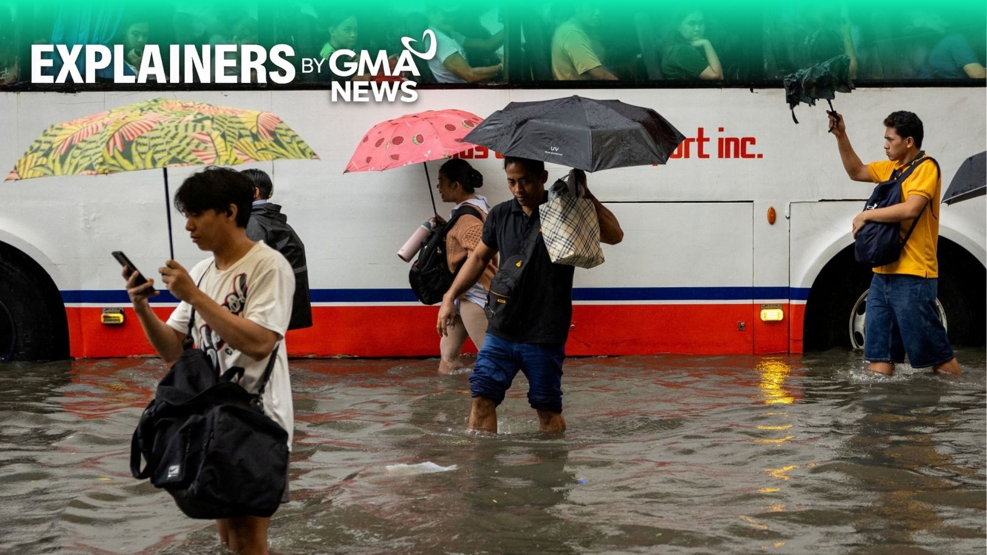
The Southwest Monsoon, or Habagat, brought bad weather to several parts of Luzon, including Metro Manila, and the Visayas starting July 31, with rainfall totals exceeding monthly averages, PAGASA said Thursday.
“Nagsimula ang tuloy-tuloy na pag-ulang dala ng Habagat noong July 31,” PAGASA weather specialist John Manalo said in a message to GMA News Online.
(The continuous rains brought by the Southwest Monsoon, or Habagat, started on July 31.)
PAGASA announced the start of the Habagat season on May 30, one of the precursors to the onset of the rainy season.
During the Habagat season, PAGASA said occasional to frequent rains and thunderstorms are expected, particularly over the western parts of the country. However, monsoon breaks, or periods of reduced rainfall lasting several days or weeks, may also occur.
The recent monsoon rains were enhanced by tropical cyclones Luis, Maymay, Dolphin, and Neneng.
The continuous rains brought by the enhanced Habagat caused flooding in several parts of Metro Manila.
As of 8 a.m. on August 20, PAGASA recorded 1,157.9 millimeters of rainfall at the Science Garden in Quezon City.
“Which is 203.7% ng normal, kasi yung [monthly] normal niya almost 500 [mm], so talagang way above normal siya,” PAGASA Climate Monitoring and Prediction Section chief Ana Liza Solis told GMA News Online.
(Which is 203.7% of the normal, because its [monthly] normal is almost 500 [mm], so it is really way above normal.)
PAGASA data showed that Baguio City recorded 1,950.8 millimeters of rainfall from August 1 to 18, or 202.5% above the normal amount for the period.
Other areas, including Dagupan in Pangasinan, Iba in Zambales, and Occidental Mindoro, also recorded rainfall levels at least 1.5 times higher than their normal August averages.
While Tropical Depression Neneng weakened into a low-pressure area on Thursday afternoon, a tropical storm is forecast to enter the Philippine Area of Responsibility (PAR) on Sunday or Monday.
PAGASA is not ruling out the possibility that Tropical Storm Saudel could enhance the Habagat next week.
“May possibility pa rin na posibleng mage-enhance pa rin ng Habagat 'yan ngayong weekend or next week. Lalo na next week, nakikita natin by Monday na may mga mataas na possibility na may maraming ulan,” Solis said.
(There is still a possibility that it could enhance the Habagat this weekend or next week. Especially next week, we see a high possibility of heavy rainfall by Monday.)
In an earlier statement, PAGASA said the "extreme rain event is consistent with El Niño conditions, where above‑normal rainfall is usually observed over the western parts of the country from July to September."
"The Habagat will continue to bring rains over the western portions of the country in August. Flash floods and landslides may occur during extreme rainfall events," it said. —with Jean Mangaluz/VBL, GMA News

