

Caloy weakens into LPA, unlikely to revert to tropical depression - PAGASA
Tropical Depression Caloy has weakened into a low pressure area (LPA) on Monday night and may eventually dissipate in the next few days, the state weather bureau said.
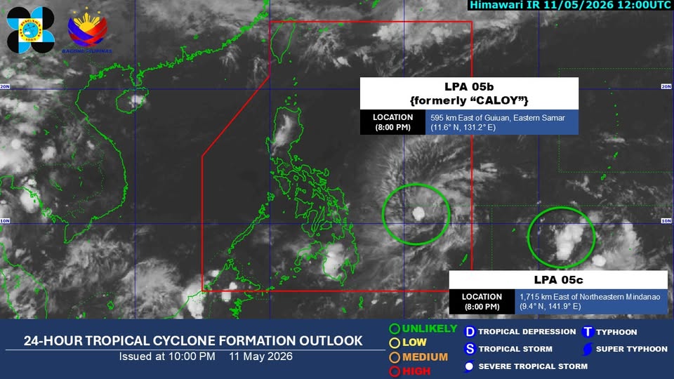
In an advisory, PAGASA said Caloy or LPA 05b weakened as of 8 p.m. of May 11.
It was last spotted 600 kilometers east of Guiuan, Eastern Samar or 630 km east of Borongan City, Eastern Samar over the Philippine Sea as of 10 p.m.
LPA 05b is “unlikely” to redevelop into a tropical depression in the next 24 hours.
In its last tropical cyclone bulletin for Caloy posted at 11 p.m., the state weather bureau said the LPA has central pressure of 1004 hPa and is moving east northeastward at 10 km/h.
It said LPA 05b “is less likely to bring heavy rainfall in any parts of the country.”
“The remnant low will move generally northward or northeastward over the Philippine Sea. As it moves over increasingly less favorable environmental conditions, there is a likelihood that it may dissipate within the next five days,” PAGASA added.
As a tropical depression, Caloy was far from the Philippine landmass and did not directly affect the country with no wind signals in effect.
Meanwhile, LPA 05c – which is 1,715 km east of Northeastern Mindanao outside the Philippine area of responsibility (PAR) – is still unlikely to develop into a tropical depression within the next 24 hours. — JMA, GMA News
