

Henry, Habagat to bring gale-force gusts, rains over parts of Luzon; Signal No. 1 over three areas
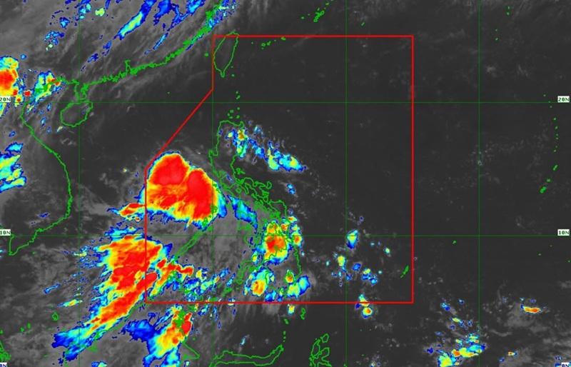
The periphery of Tropical Depression Henry and the southwest monsoon will bring gale-force gusts over parts of Luzon with Signal No. 1 raised over three areas, according to the Tropical Cyclone Bulletin posted by PAGASA.
The center of Tropical Depression Henry was estimated at 115 kilometers West Southwest of Abucay, Bataan with maximum sustained winds of 45 kilometers per hour near the center, gustiness of up to 55 km/h and moving northwestward at 25 km/h.
Tropical Cyclone Wind Signal (TCWS) No. 1 in effect over the following areas:
- the southwestern portion of Zambales (San Antonio, Castillejos, Subic, Olongapo City)
- the western portion of Bataan (Morong, Bagac, Mariveles)
- Lubang Islands
Heavy Rainfall Outlook
Rainfall measuring 50 – 100 mm is expected on Wednesday over Batangas, Palawan, Occidental Mindoro, and Oriental Mindoro.
Localized flooding may occur but this will be mainly in areas that are urbanized, low lying, or near rivers. Landslide possible in highly susceptible areas.
Severe Winds
"The wind signals warn the public of the general wind threat over an area due to the tropical cyclone. Local winds may be slightly stronger/enhanced in coastal and upland/mountainous areas exposed to winds. Winds are less strong in areas sheltered from the prevailing wind direction," said PAGASA.
There are no wind signals raised at this time.
The periphery of HENRY and the Southwest Monsoon are expected to affect the following areas on Wednesday: Batanes, Cagayan, Ilocos Norte, Pangasinan, Tarlac, Nueva Ecija, Pampanga, Bulacan, Metro Manila, CALABARZON, Occidental Mindoro, and Palawan.
24-Hour Sea Condition Outlook
Up to moderate seas over the following coastal waters:
Up to 2.5 m: The seaboards of Cagayan and Isabela; the western seaboards of Zambales, Bataan, and Lubang Islands
Up to 2.0 m: The seaboards of Aurora and Batanes; the northern seaboard of Ilocos Norte; the western seaboards of La Union, Pangasinan, and Palawan.
Mariners of motorbancas and similarly sized vessels are advised to take precautionary measures while venturing out to sea and, if possible, avoid navigation under these conditions.
Other coastal waters have forecast wave heights of less than 2.0 m.
Track and Intensity Outlook
Tropical Depression Henry is forecast to move generally west northwestward while moving away from the Philippine landmass and may exit the Philippine Area of Responsibility (PAR) by Thursday morning.
"HENRY will gradually intensify while traversing the West Philippine Sea and may reach tropical storm category by tomorrow morning. Afterwards, it is forecast to remain as a tropical storm throughout the remainder of the forecast period," the state weather bureau reported. — BAP, GMA News
