

Easterlies to bring isolated rains as Super Typhoon Bavi remains outside PAR
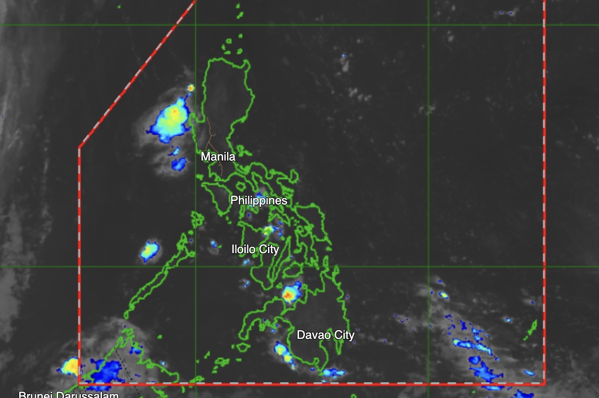
The Philippine Atmospheric, Geophysical and Astronomical Services Administration (PAGASA) said Sunday that easterlies will continue to affect the eastern sections of Luzon and Visayas, bringing partly cloudy to cloudy skies with isolated rainshowers or thunderstorms.
In its 4 a.m. weather bulletin, PAGASA said Cagayan Valley, Bicol Region, Eastern Visayas, Aurora, Quezon, and Dinagat Islands may experience scattered rainshowers and thunderstorms caused by easterlies, with possible flash floods or landslides during severe thunderstorms.
Metro Manila and the rest of the country will also have partly cloudy to cloudy skies with isolated rainshowers or thunderstorms due to localized thunderstorms, which may likewise trigger flash floods or landslides.
Meanwhile, PAGASA said Super Typhoon Bavi remained outside the Philippine Area of Responsibility (PAR) as of 3 a.m., last spotted 2,700 kilometers east of Eastern Visayas.
Bavi was packing maximum sustained winds of 195 kilometers per hour near the center and gusts of up to 240 kph, moving westward at 15 kph.
For wind and sea conditions, the eastern section of Luzon may expect light to moderate winds blowing east to northeast, with slight to moderate coastal waters ranging from 0.6 to 1.5 meters.
The rest of Luzon will have light to moderate winds from the east to southeast, with similar wave heights.
Visayas and the eastern section of Mindanao will experience light to moderate winds from the northeast to northwest, while the rest of Mindanao will have light to moderate winds coming from the southwest to west, with coastal waters ranging from 0.6 to 1.2 meters.
PAGASA’s Science Garden station in Diliman, Quezon City recorded a high of 33.8°C at 5 p.m. in the past 24 hours, while the temperature dropped to a low of 26.4°C at 5 a.m.
Sunrise over Metro Manila was at 5:32 a.m. on Sunday, while sunset is expected at 6:30 p.m.—MCG, GMA News
