

 GMA Brandtalk
 Tracking
 Archives

2 to 4 tropical cyclones likely to enter PAR in August — PAGASA
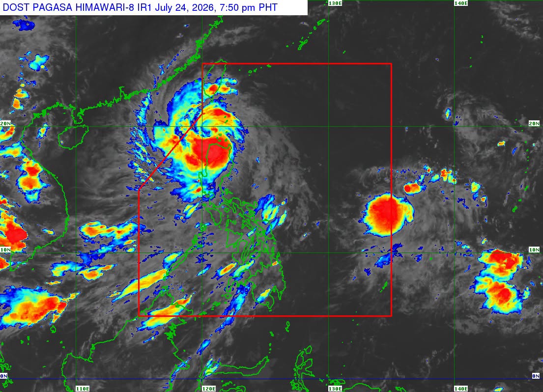
Two to four tropical cyclones are expected to form within or enter the Philippine Area of Responsibility (PAR) in August, according to the state weather bureau PAGASA.
Based on its Climate Outlook for August 2026 to January 2027, PAGASA forecast the following number of tropical cyclones that may develop or enter the PAR each month:
August: 2 to 4
September: 2 to 3
October: 1 to 2
November: 1 to 2
December: 1 to 2
January: 0 to 1
PAGASA also said a very strong El Niño is expected to develop between October 2026 and January 2027, which could lead to fewer tropical cyclones. However, some of the storms that do form may still intensify into typhoons or even super typhoons.
Rainfall outlook
Rainfall across most parts of the country is expected to be near normal in August, with above-normal rainfall likely over parts of western Luzon. Meanwhile, below-normal rainfall may persist in some areas of Southern Luzon, the Visayas, and Mindanao.
In September, below-normal rainfall is expected across most of Luzon, while above-normal rainfall may occur over the eastern parts of the Visayas and Mindanao. The rest of the country is expected to experience near-normal rainfall.
For October, PAGASA forecast below-normal rainfall over Luzon, while the rest of the country is expected to receive near-normal rainfall.
Way below-normal to below-normal rainfall conditions are expected nationwide in November.
In December, above-normal rainfall may persist over most parts of Luzon, while below-normal rainfall is likely across much of the Visayas and Mindanao.
By January 2027, way below-normal to below-normal rainfall conditions are expected across the country.
Areas at risk of dry spell and drought
By the end of August, PAGASA forecasts the following areas to experience dry spell:
* Eastern Samar
* Leyte
* Southern Leyte
* Agusan del Norte
* Basilan
* Dinagat Islands
* Misamis Occidental
* Surigao del Norte
* Surigao del Sur
* Zamboanga del Norte
* Zamboanga del Sur
* Zamboanga Sibugay
The following areas are forecast to experience drought:
* Camarines Norte
* Catanduanes
* Biliran
* Cebu
* Negros Oriental
* Northern Samar
* Samar (Western Samar)
* Siquijor
PAGASA said a dry spell occurs when an area experiences below-normal rainfall for three consecutive months, or below-normal rainfall for two consecutive months.
A drought occurs when an area records below-normal rainfall for five consecutive months, or way below-normal rainfall for three consecutive months.
The Department of Agriculture (DA) earlier warned that a potential El Niño could severely affect several regions in the country, with the prolonged dry conditions expected to reduce crop yields and negatively affect farmers.
According to the DA, the areas most vulnerable to the effects of El Niño are the Ilocos Region, Cagayan Valley, Central Luzon, Western Mindoro, and Central Mindanao. —VBL, GMA News

