

 GMA Brandtalk
 Tracking
 Archives

Tropical Depression Maymay maintains strength, 17 areas under Signal No. 1
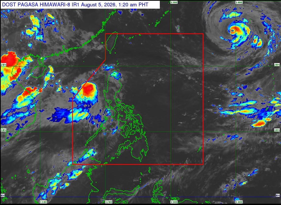
Tropical Depression Maymay remained stationary over the sea west of La Union on Wednesday while maintaining its strength, according to PAGASA.
Tropical Cyclone Wind Signal No. 1 remains in effect over 17 areas as the cyclone continued to bring rain and gusty winds across parts of Luzon.
The following areas are under Signal No. 1:
- Ilocos Norte
- Ilocos Sur
- La Union
- Pangasinan
- Apayao
- Abra
- Kalinga
- Mountain Province
- Ifugao, Benguet
- Cagayan
- Isabela
- Quirino
- Nueva Vizcaya
- the northern portion of Zambales (Candelaria, Santa Cruz, Masinloc, Palauig)
- the northern portion of Tarlac (Mayantoc, San Clemente, Camiling, Santa Ignacia, Gerona, Paniqui, Moncada, San Manuel, Anao, Ramos, Pura)
- the northern portion of Nueva Ecija (Carranglan, Lupao, Cuyapo, Talugtug, Nampicuan, Guimba, Science City of Muñoz, San Jose City, Pantabangan)
- the northern portion of Aurora (Dilasag, Casiguran, Dinalungan, Dipaculao)
As of 2 a.m. on Wednesday, the center of Maymay was estimated at 140 kilometers west northwest of Bacnotan, La Union. It is almost stationary with maximum sustained winds of 55 km/h and gustiness of up to 70 km/h.
Maymay is forecast to move generally eastward and may make landfall over Ilocos Sur or La Union by Wednesday afternoon or evening. Afterwards, it will traverse the landmass of Northern and Central Luzon until Thursday.
Maymay is expected to intensify as it approaches land and may reach tropical storm strength in the next 12 hours.
After making landfall, it will weaken into a tropical depression by Thursday morning and may be downgraded further into a low pressure area by the afternoon or evening.—LDF, GMA News

